Account Login/Registration

Access KelownaNow using your Facebook account, or by entering your information below.


Facebook


OR


Register

Privacy Policy

Heavy snow, strong winds expected across the BC Interior Saturday night

People across the BC Interior can expect a heavy snowfall Saturday night.

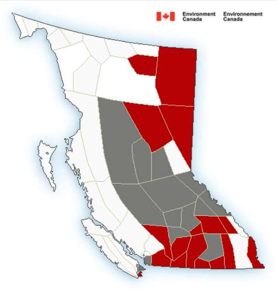
A winter snow warning that was issued on Friday for the Coquihalla, Okanagan Connector and highways 1 and 3 remains in place.

Snow is expected to begin Saturday night with 15 to 25 centimetres expected.

Strong winds are expected to make conditions hazardous and limit visibility for people travelling through the mountain passes.

<who> Photo Credit: Environment Canada

“A strong Pacific frontal system is forecast to move into the southern interior late today bringing snow and strong winds,” explains Environment Canada.

“The snow will end early Sunday as the frontal system exits the province.”

Cities and towns at lower elevations can also expect a period of heavy, blowing snow overnight as well.

However, Environment Canada says five to 10 cm of snow can be expected in the Cariboo, Nicola, Thompson, Similkameen, Okanagan, Shuswap and Kootenay regions.

Thumbnail photo credit: 123rf


If you get value from KelownaNow and believe local independent media is important to our community we ask that you please consider subscribing to our daily newsletter.

If you appreciate what we do, we ask that you consider supporting our local independent news platform.


Send your comments, news tips, typos, letter to the editor, photos and videos to news@kelownanow.com.


weather-icon
Thu
16℃

weather-icon
Fri
16℃

weather-icon
Sat
17℃

weather-icon
Sun
16℃

weather-icon
Mon
14℃

weather-icon
Tue
18℃

current feed webcam icon

Recent Livestream


Top Stories

Follow Us

Follow us on Instagram Follow us on Twitter Like us on Facebook Follow us on Linkedin Follow us on Youtube Listen on Soundcloud Follow Our TikTok Feed Follow Our RSS Follow Our pinterest Feed
Follow Our Newsletter
Privacy Policy